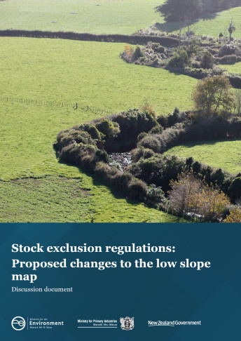
Proposed changes include a mapping approach based on local terrain, and the introduction of an altitude threshold of 500 metres.
We propose that freshwater farm plans are used to address the risks of stock access to waterways in areas outside the low slope map. In areas between 5 and 10 degrees slope there will be a presumption that stock will be excluded from access to waterways through freshwater farm plans, rather than through the application of mandatory regulatory requirements.
Engagement starts from 14 July with public submissions accepted from 26 July until 26 September 2021.
Find out more and have your say
For more information contact: freshwaterfarmplans@mfe.govt.nz
