Are you wondering how Wellington might look in the future with increasing impacts of climate change?
Check out the digital virtual model of the capital in the past, present and future [Buildmedia.com website]
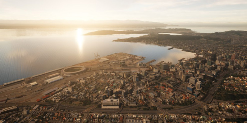
Wellington City Council has developed the digital twin. It functions as an interactive, virtual model of the capital. It’s been built from a wide range of data – including GIS maps and city-wide sensors – and looks and behaves like the real world.
It can be used to make better decisions about adaptation planning. As humans mostly process information visually, the digital twin helps people understand how a location works, how it will fare as the climate changes and what the outcomes of policy decisions will be.
The council is now using this digital twin to co-design climate change adaptation solutions with Wellingtonians. It will connect mātauranga Māori, city planning data, climate science and community values.
The project will communicate the complexities of climate impacts and adaptation planning in an accessible way. The approach encourages participation, as decision-makers and other Wellingtonians will be able to clearly understand local impacts.
The technology will be free and the project will empower Māori, businesses and organisations to adapt together.
Find out more about how the national adaptation plan will enable better risk-informed decisions