Clifton to Tangoio Coastal Hazards Strategy 2120
Coastal communities around Aotearoa are increasingly affected by hazards like coastal inundation (flooding by the sea) and coastal erosion.
Coastal communities around Aotearoa are increasingly affected by hazards like coastal inundation (flooding by the sea) and coastal erosion.
The Hawke’s Bay region is considered to have one of the highest levels of coastal risk exposure. Natural disasters, storms, coastal erosion and inundation along the region’s 353-kilometre coastline continue to damage property and threaten people’s safety and wellbeing.
In developing the Clifton to Tangoio Coastal Hazards Strategy 2120, the Hawke’s Bay Regional Council, Hastings District Council and Napier City Council have worked with local iwi and coastal community representatives to take a proactive, locally-led approach to identifying and responding to coastal hazards over the next 100 years. It has been an opportunity for councils to work together on a complex cross-boundary issue to address community concerns.
The strategy identifies coastline areas that may be affected by coastal hazards over the short to long term, and the risks to public and private property, cultural sites and areas, recreation and infrastructure services. It uses the dynamic adaptive pathways planning framework, which presents adaptation solutions as one option in a series of future pathways.
Further work is needed to answer questions about how to share the costs of adaptation solutions, and where to allocate the roles and responsibilities for implementing the strategy.
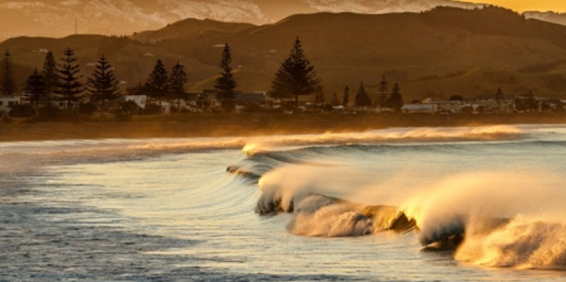
Image: Hawke’s Bay Regional Council
More information and links: