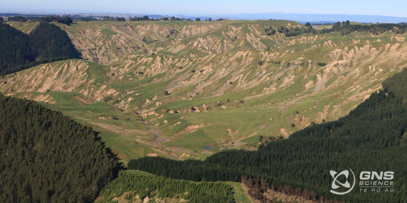
Manaaki Whenua based its assessment on satellite photos of Tairāwhiti/Gisborne, Hawke’s Bay and Wairarapa coast. It found that:
- there were more than 300,000 landslides, with each landslide comprising about 1,000 tonnes of soil, the equivalent weight of 548 single-cab utes
- in southern Hawke’s Bay/northern Wairarapa hill country, land under native vegetation was 90 per cent less likely to slide, while land under exotic forest was 80 per cent less likely to slide than hill country pastoral land
- in northern Hawke’s Bay, land under native vegetation was 90 per cent less likely to slide, while land under exotic forest was 60 per cent less likely to slide than hill country pastoral land
- in Tairāwhiti/Gisborne coastal hill country, land under native vegetation was 50 per cent less likely to slide than hill country pastoral land. Land under exotic forestry and pasture had the same extent of land sliding.
