New Aotearoa New Zealand climate projections released
Projections show potential changes to temperature, wind and rainfall over the rest of the century.
Projections show potential changes to temperature, wind and rainfall over the rest of the century.
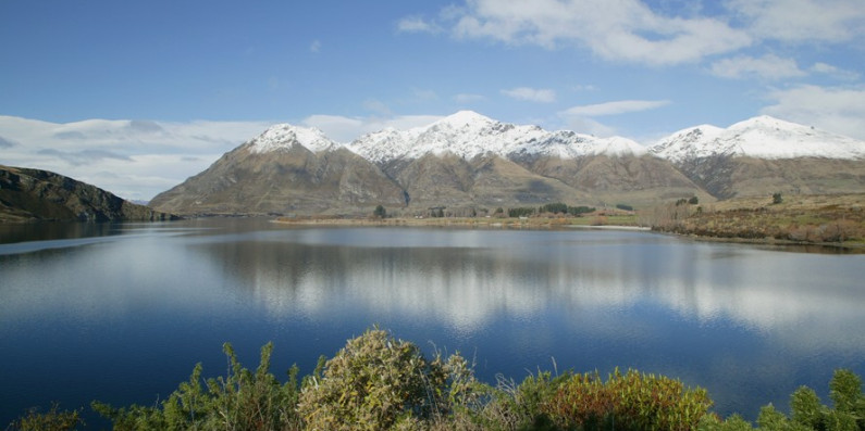
New projections have been released which show how the climate could change in Aotearoa New Zealand over the rest of this century.
The National Institute of Water and Atmospheric Research (NIWA) developed the projections, using information on New Zealand’s unique landscape and climate conditions alongside global data and science.
They have been made available publicly for the first time by the Ministry for the Environment through the government’s Climate Data Initiative, with funding from the Ministry for Business, Innovation and Employment.
Making these projections available means everyone can access the data and understand what climate change might mean for their community. This is an important step in improving access to climate information.
Downloadable data showing potential changes to climate variables such as temperatures, rainfall and wind is available for each 5 km square of New Zealand, apart from the Chatham Islands.
An interactive map, dashboard, and written insights allow users to explore the projections – for example, what average temperatures might look like in Auckland in 30 years, or how much annual rainfall might be expected in Westland by 2090.
The projections are expected to be particularly useful to councils, iwi, communities and businesses as they make plans for adapting to climate change. Making climate information easier to access is part of the Government’s climate strategy and is expected to be a key focus of its adaptation framework.